Phase 1: Household Hazardous Waste Removal
During Phase 1, teams from the US EPA or the California Department of Toxic Substances Control (DTSC) along with Ventura County Environmental Health will inspect your property and remove any accessible and identifiable HHW that may pose a threat to human health and the environment such as batteries, identifiable asbestos, pesticides, cleaning products and paints. There is no cost to the property owner for this work and you do not need to file a request to participate. The Phase 1 clearance does not include removal of fire debris and ash, which may contain hazardous substances like heavy metals and asbestos fibers. The remaining ash and debris will be removed during Phase 2.
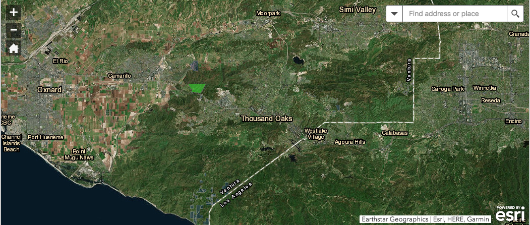
See CalRecycle new map representing ROE status for properties